Category Archives: GIS
How old is the building you live in?
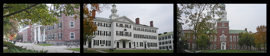
At Dartmouth we have a pretty good idea about when our approximately 150 buildings on the core campus were built. We can do some cool coloring stuff with GIS too, but imagine coloring the buildings of a whole country! The Waag … Continue reading
Posted in GIS, Mapping
Leave a comment