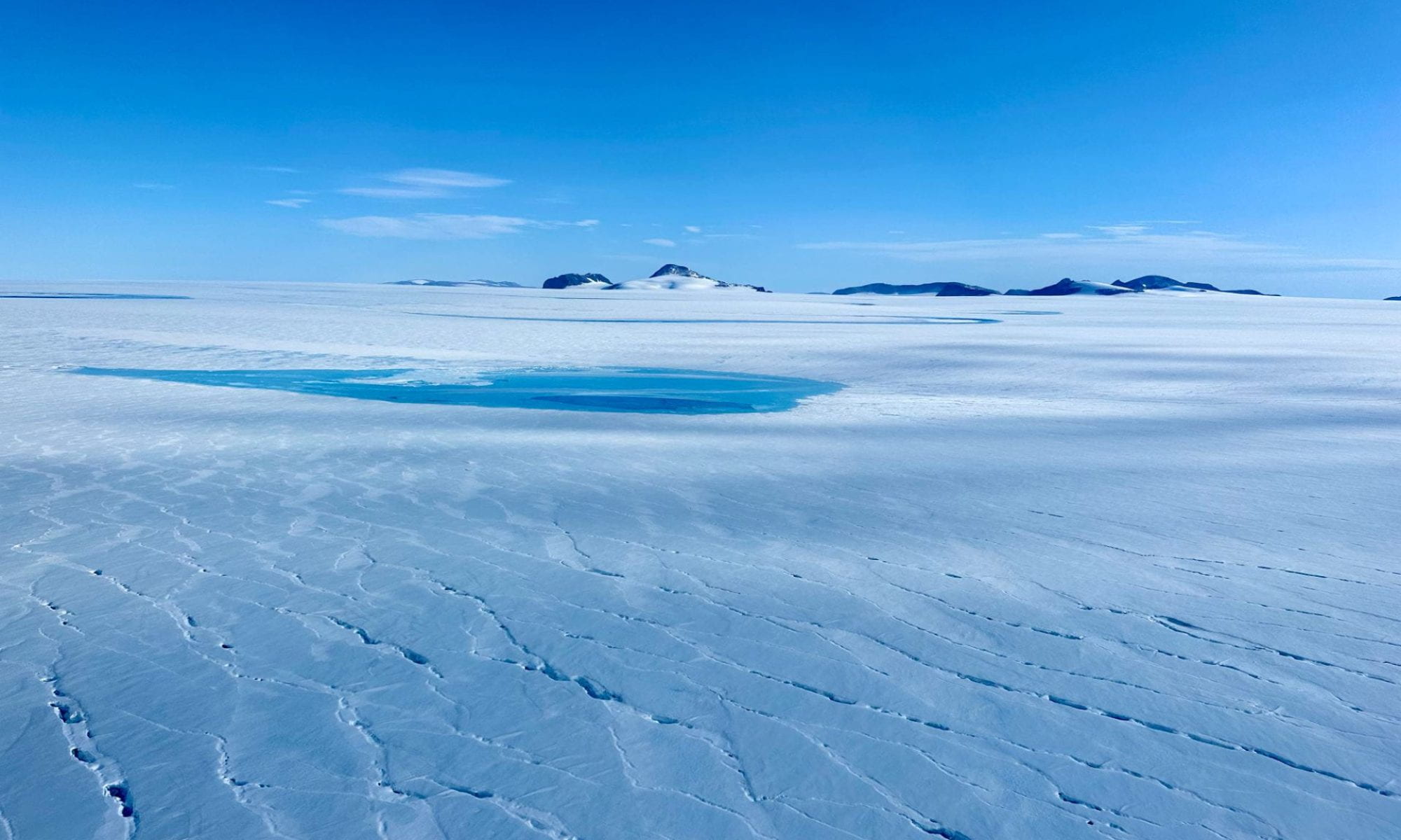
We have developed a low-cost, low-power Global Navigation Satellite System (GNSS) receiver. GNSS receivers give you a position (latitude, longitude, altitude) just like the GPS on your phone, and we use this instrument on glaciers to track their movements, in the same way you might use GPS to track your dog. (We do this much more precisely—we can position the location of the receiver antenna to within ~1 cm).
But there is more to GPS/GNSS than positioning. GPS/GNSS satellites are constantly transmitting radio signals to Earth, and those signals bounce off of trees, cars, the ground, etc. When they reflect off of the ground and towards our receiver, we can interpret this reflected signal and determine something about the reflecting surface. This technique is called GNSS interferometric reflectometry (GNSS-IR).
For instance, we can determine the height of the instrument antenna above the reflecting surface, and subtract that value from the antenna GNSS-derived elevation to get a precise elevation of the reflecting (water, snow, ice, etc.) surface.
Now, we are setting out across ponds and lakes in New Hampshire to see if we can use these signals to monitor the water level/elevation of these lakes throughout the year, and also detect when these lakes freeze over (ice-in and ice-out), whether that ice is pure or snow/slush/water-covered, and perhaps even how thick that ice and snow is. This work is in collaboration with lake associations and lake communities, who submit observations on the surface conditions that we will use to validate the GNSS-IR technique.
Data will be made publicly available here when we download it from our receivers during the spring of 2025.


