Our group works on a diverse array of field and remote sensing projects that are spread all over the cryosphere. Here are some descriptions of projects that we are currently focused on, including work in the Summit region of the Greenland Ice Sheet, the Athabasca Glacier in Canada, and the remote Himalaya. Our lab Github: github.com/glaciology/

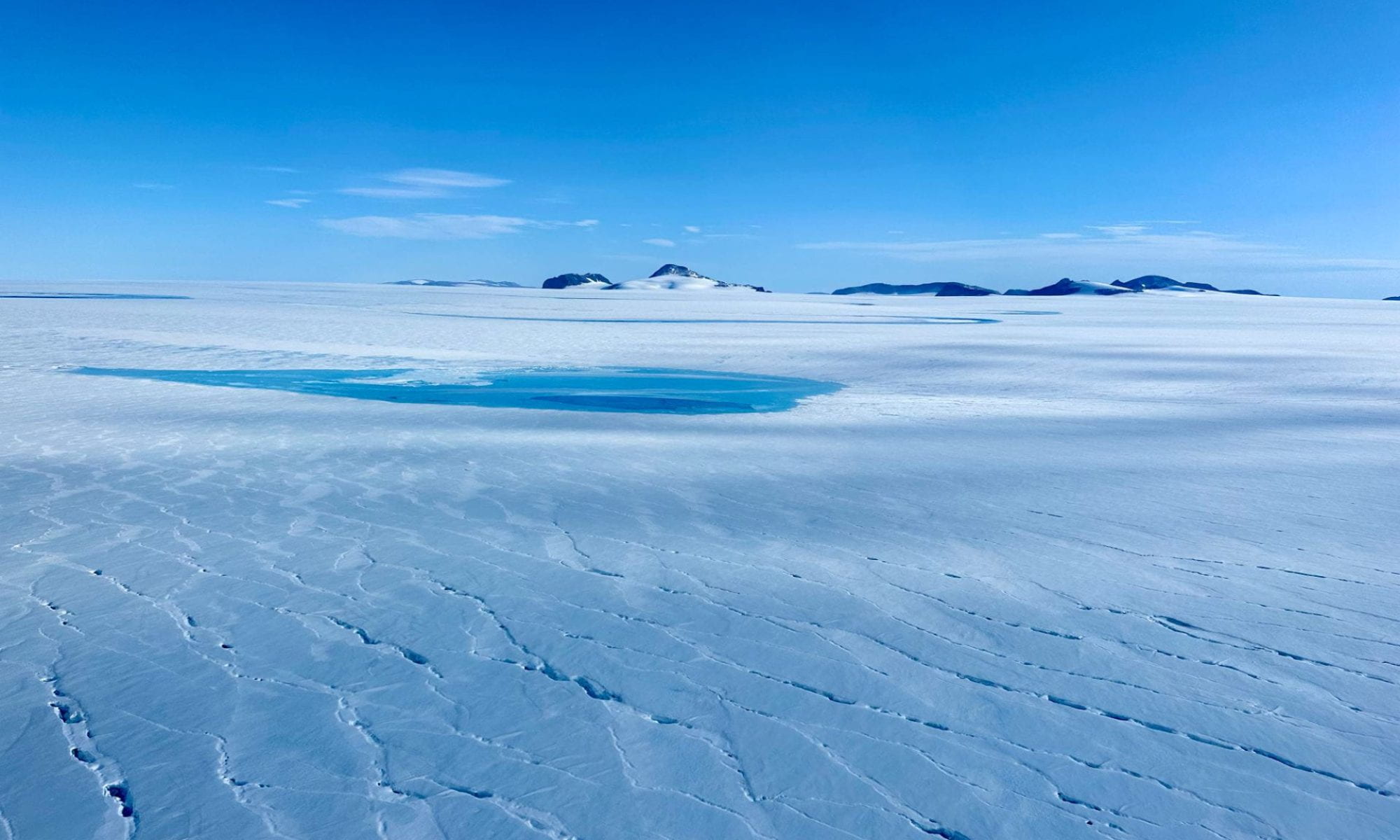
Summit Station, Greenland
The Summit region of Greenland is the highest part of Greenland Ice Sheet. Located at the drilling site of the GISP-2 ice core, the year-round science station located here plays a vital part in seeking to understand how this region is changing. We have several projects taking place at Summit Station that link atmospheric, firn and glaciological processes. Our work includes monitoring snow accumulation (on skis!), a monthly survey of a large transect for ICESat-2 altimetry validation, and measuring firn densification with radar.
High Mountain Asia
With a few regional exceptions, glaciers in High Mountain Asia have been losing mass since the 1960s. Using remote sensing data (Landsat-8/9, Sentinel-2), we are developing an automatic glacier classification scheme using a random forest classifier model. This project also synthesizes traditional remote sensing imagery with glacier flow velocity data and other spectral, textural and topographic data to train our classification model.
On-ice Research Experimental Network for Greenland
We have developed an open source, low-cost, low-power multi-GNSS instrument for use in the cryosphere. At a fraction of the cost of commercially available options and with lower power requirements, we can more rapidly deploy GNSS to Greenland and elsewhere to monitor ice velocity, snow accumulation and firn densification as we strive to understand the changing dynamics of ice sheets. For design files, software and more information: github.com/glaciology/OGRE
Athabasca Glacier, Canada
Yearly, we visit the Athabasca Glacier as part of the Dartmouth College Earth Science Field Study Program (the Stretch). There, we use GNSS measurements, radar, timelapse footage and other field tools to characterize the state of the glacier.