Jump to: BE H2O • Glacier scratches • Flubber glacier • Sandpit • Sandpit II • Plan a field expedition • If you were made of ice • Find the glaciers
Here are some activities we suggest for introducing K-12 students to glaciers and climate science
1. BE H2O
Materials: Blue fabric/paper, white fabric/paper, and clear fabric/transparency, 4 dice, big open space
Goals: Students will act out the phase change and water cycle. This will probably be a logistical nightmare, so you might want to look at the other activities below.
Steps:
- Explain to the students that they are going to pretend to be H2O molecules, all starting at one part of the circle, all with white fabric/paper, this is the ice phase, they are part of a glacier.
- As they slowly move ‘downhill’ (around the circle) they are entering a warmer place, and at the Melt Point they roll a die. If it is 3, 4, 5, or 6, they switch their white fabric (ice phase) with the blue fabric (liquid phase) .
- In the liquid phase, they might have to meander like a stream or swim in the ‘ocean’.
- Then at the Evaporation Point, have students roll another die, if they roll a 1 or 2, they can trade their blue paper for a clear transparency (water vapor), and continue on around the circle. If they roll a 3 or higher, they have to swim for 10 seconds, then try again.

Discussion: How does the phase of H2O relate to temperature? Or to elevation? How do temperature and elevation relate? Is it difficult to ‘evaporate’? What happens if you warm the air? Which way would the Melt Point move? Would the Condensation Point move as well? Which zone are you going to shrink with a warming atmosphere?
2. GLACIER SCRATCHES (4-8 Grade)
Materials: Lots of small and pointy objects (e.g. jax/marbles/pebbles), 2 colors of play-dough (you can make your own), keep one of the play-dough colors cold (in the fridge) if possible.
Goals: Visualize how glaciers freeze rocks into their base and use these rocks to erode and scratch the bedrock.
Experiment:
- Take the room-temperature play-dough and make a flat road with it. This is the ‘bedrock’.
- Take the cold play-dough and mold it into a ball-ish shape that will fit in your hand.
- Put the small objects on the table and push the cold ball onto the objects (they should get stuck to the bottom). This is your glacier with rocks at the base.
- Drag the ‘glacier’ over the ‘bedrock’ in one direction and see if you scratches.
Discussion: The scratches that glaciers leave in bedrock are called striations or striae. They tell us:
- Glaciers were here
- Glaciers flowed in one of these directions
When the first ice-age detectives were traveling the world, looking for evidence of glaciers, striations were a great clue!
- How can we tell which way the glacier flowed?
- We have to think about where the glacier grew from, in North America, the ice sheet grew out from Canada, so in New England, the striations are oriented N-S
- What does it mean if there are striations in multiple directions?
- Multiple flow patterns: Along the coast of Maine, there are striations from when the ice sheet was big and thick and flowing from the North. There are other striations that are parallel to the valleys along the coast that formed when the ice was thinner and restricted by the valley walls.
For more images of striations (to help train your eye) go to Erosional Features

Striations (ice flow direction left to right). Downeast Maine.
3. FLUBBER GLACIER (Grade 9-12)
Materials: Flubber (see recipe in the link below)
Goal: Help students visualize how glacier flow (slowly, and due to gravity and their own weight).
Experiment: Once the flubber has been made, pick up a piece and pull it apart slowly, show how it stretches. Then pull it quickly, show how it breaks, ice can do this too. Then make a tall column of flubber on a desk and leave it alone while you talk about glaciers flowing under their own weight due to gravity (flubber will flatten and spread out on the table as you talk, just like an ice sheet would).
Discussion: Draw pictures on the board about how ice sheets flow outward from the center, just like this mound of flubber. Once the flubber has flattened somewhat, have students make observations – flat, large area, smooth, not a liquid but not what they usually call solid. What happens if you break a chunk off, or remove a pie slice? Think about Antarctica and how the ice sheet responds to ice calving (breaking off into the water), one chunk goes, the ice flows into that void and lowers overall.
Additional Experiments: You could bring in other materials, like a half-pipe on an incline and some beads to mark the surface and watch the glacier flow ‘down-valley’ over time. Here is a flubber-glacier experiment made by the Byrd Polar Research Center at the Ohio State University. Flubber hardens and dries out if left out on the counter, so it is best to store it in a bucket with a lid and you can use it several years in a row. Please consider the health risks associated with Borax. Silly Putty is also a good analog for glacier flow, but can be expensive and can get dirty quickly.

Flubber glacier by the Byrd Polar Research Center
4. SANDPIT (Grade K-4)
Materials: Sandpit with Weetbix (or other cereal that will dissolve in the rain)
Goals: Expose students to a range of glacial landforms and talk about glacial processes.
Experiment: Go out to the sandpit, if your school does not have a sandpit, perhaps they should invest in one because sand can be incredible for play, imagination, and all sorts of geologic models. Build a large mound to represent your mountain and form a valley in one side. Sprinkle Weetbix or some other type of cereal that will dissolve in the rain in the valley to represent your glacier. Push your hand down the middle of the glacier to represent glacial flow and then build sand moraines at the end of the glacier (terminus).
Discussion: Some glaciers flow down the sides of mountains and help to carve and widen valleys. Glaciers also deposit sand, gravel, and boulders at its terminus.

Sand mountain and Weetbix glacier.
5. SANDPIT II (Grade 4-12)
Materials: Mud, sand, gravel, cobbles, Lego people, miniature house model, twigs for trees, large clear plastic tote, paper labels (read below)
Goals: Build a glacial landscape model and have students describe how the landscape looks in glaciated areas.
Experiment: Show students diagrams of glacial landscapes, maybe some photographs, then go outside and demonstrate a ‘model’ scaled version of a landscape. Use the materials and even twigs for trees, cobbles for erratics, Lego people for people. These human scales give students an idea of the scale of glacial landforms. The relationship of the landform to the glacier front is also important (depending on your detailed goals: Know the difference between a moraine and an esker, for example).
I would probably represent the glacier with a large clear plastic tote (upside down). If possible, have a hose running underneath it (subglacial melt water stream) with some water coming out from the end of the glacier. Tell the students what the tote and hose represent, then take some gravel, sand, and mud and build a ridge against the front edge of the glacier. Say, “Imagine this glacier extends to the north and to the east and west. This ‘front’ or terminus is where ice is melting. When the ice melts, rocks and sand melt out of the front and fall down into a pile on the ground, they may create a moraine, which is a ridge of unsorted (small mud particles to large boulders) sediment that marks the extent of the glacier.” You can continue to build an esker, kettle pond, flutes, drop a few erratics, whatever you like, explaining how each landform is created as you create it.
Now unleash the students to work independently or in groups to design a glacial landscape (for 10-20 minutes). Hand out labels with the words ‘moraine’, ‘esker’, ‘kettle pond’, ‘erratic’, and have the students set them next to the features. Talk with the students and ensure they know and can explain the context and formation of these features.
Discussion: Gather as a group and visit each display and have the creator explain the scene. If possible, take a fieldtrip to a glacial landscape so they can see the actual size of an esker / large erratic / moraine (it makes a huge difference for them to actually see these features).
6. PLAN A FIELD EXPEDITION (Grade 4-12)
Materials: Maps of the world and of glacierized regions, examples of cold weather gear (hat, gloves, sleeping bag, insulated pants), examples of camp food, images of people living in remote glacierized areas, reasons why scientists go to these places
Goals: Students plan an expedition to a remote glacierized area of the world for scientific research. Each group (or individual) has a specific task and they need to report their preparations to the class at the end. Activity can take about 30 minutes. First, set the research goal: Understand how polar bears eat, study how fast glaciers in Svalbard are moving, measure changes in glacier size since the last ice age. Each of these goals will help you focus on where you need to go and what equipment you need to bring. It also motivates people, knowing they have a specific goal in mind.
Experiment: Assign each student or group of students to a topic:
- Location and purpose (give them maps and ask them to pick our location and what we will research)
- Transportation and communication (how will we get to the site and who will pick us up? Logistical support?)
- Food (think about how many people are going and for how long, calculate the number of meals)
- Clothing, lodging, and safety (What do we need to bring for clothing, and for emergencies: If our pick up doesn’t arrive)
- Scientific equipment (collaborate with the ‘purpose’ group and think about some tools you might need to bring with you)
Talk a bit about scientists who work on glaciers and why, tell them that now is their turn to plan an expedition. Once the students are assigned to a topic, give them time to brainstorm and talk with each other. Write the location on the board once the first group decides so other groups can plan accordingly. Encourage collaboration between topic groups while they continue making lists of gear/food/tools etc. Give them about 10-15 minutes to brainstorm while instructor(s) walk around and answer any questions or just overhear their ideas).
Discussion: When the brainstorming time is up, have each group present their ideas and encourage them to use the props that are available. You can choose whether the listening students can ask questions to the ‘experts’ or contribute ideas. Add your thoughts at the end for other things we didn’t specifically ask for (bathroom carry out, sanitation, stove, journal, book, personal gear).

7. IF YOU WERE MADE OF ICE (All Ages)
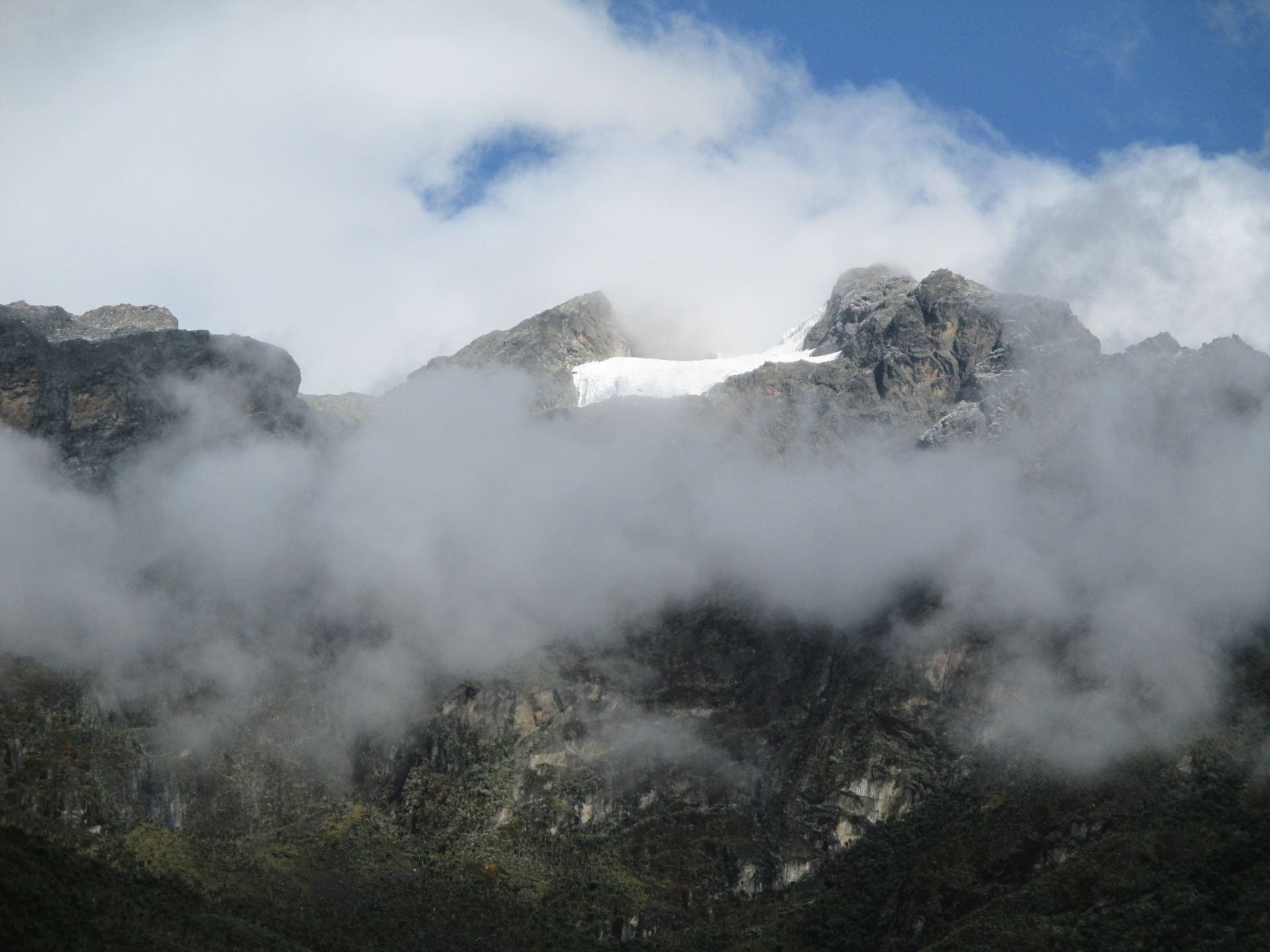
Materials: Physical maps of the world, images of glaciers.
Goals: Students will be able to identify climates and properties that lead to positive or negative glacier mass balance.
Experiment: Tell the students to imagine they are made of ice (pretend they are a glacier). The only way for them to survive is by eating snow. The Sun and heat are their enemies that make them smaller.
- Where would they choose to live? If you have access to Google Earth, have them find a glacier where they would live.
- polar regions
- middle latitudes, medium altitudes
- high altitude in the tropics
- How often/much would they eat?
- polar ice sheets and glaciers in the subtropics are in very dry environments, it snows either infrequently or in very small amounts, but rarely melts because of the very cold temperatures
- glaciers in the middle latitudes, like New Zealand, Patagonia, Norway, receive large amounts of snow in the winter
- How might they avoid the Sun?
- shade of tall peaks/steep cliffs
- live in cloudy locations
- the more snow you eat, the more sunlight you reflect back into space
Discussion: Where are some of the largest mountain glaciers (not ice sheets) in the world? (Alaska, Patagonia, Himalayas). How does this relate to the temperature and amount of snowfall? Glaciers need both cool temperatures and precipitation to survive, and it is the balance between how much mass is gained and lost. Adding mass can be increased in steep, mountainous areas where avalanches occur and decreased in exposed areas where wind might blow the snow away. Loosing mass is a combination of temperature, rain, sunlight, the darkness of the surface of the glacier, and if the glacier is calving (breaking off) into the ocean or a lake.
8. FIND THE GLACIERS! (4-12 Grade)
Materials: Computers with internet access and Google Earth Pro (free!) downloaded.
Goals: Students will be able to identify, locate, measure, and describe glaciers around the world. These are skills needed in remote sensing (mapping and measuring features from satellite images without actually traveling there).
Experiment: I think it is best to let students explore Google Earth for a few minutes (zoom into a tropical island, find a volcano, go to a country they might want to visit). This helps them get comfortable with the features and also gets some of the jitters out. When you are ready to proceed, have them find a glacier at:
- 70-80 deg North or South Latitude
- Where are they? (Country name, latitude, longitude, elevation)
- Is there a lot of ice nearby? (use the length tool to measure the length of your glacier)
- Describe your glacier (length, shape, highest point to lowest point in elevation, crevasses, snow versus ice, rock debris cover, distance from the ocean)
- 40-50 deg North or South Latitude
- answer the same questions as above
- 0-20 deg North or South Latitude
Discussion: What did they discover? Less ice in the tropics? Ice at lower elevations near the poles? Different shapes or appearances? Could they tell which areas were ‘wet’ (lots of snow) and ‘dry’? What questions do they now have after their initial observations? Feel free to send them to me or a glaciologist near you!

Additional Experiment: GLACIER RETREAT!
Goals: Students will be able to measure the length of glacial retreat over time, thus calculating the rate of retreat for three specific glaciers. These skills in remote sensing combine observation, using tools, applying understanding of a system, and creating a visual representation of climate change.
Experiment: I think it is best to let students explore Google Earth for a few minutes (zoom into a tropical island, find a volcano, go to a country they might want to visit). This helps them get comfortable with the features and also gets some of the jitters out. When you are ready to proceed, search for these glaciers:
- Search for Franz Josef Glacier, New Zealand
- Where was the glacier terminus in 2013 vs 2006? (Hint: use the time travel button to view imagery through time)
- Measure the distance between ice extent of the two years (~600 m) (Hint: use the measuring tool)
- Calculate the rate of ice retreat over time (600m/7years=85m/yr, can you measure this out in the hallway?)
- Tasman Glacier, New Zealand
- This one is a bit tricky because the glacier is covered by rock debris and is melting away in this pro-glacial lake
- Where is the edge of dirty ice – lake in 2006 vs 2013? Measure the distance between the ice fronts
- Go to -64.221160° latitude, -59.043325° longitude,
- Measure distance between the ice front in 1998 vs 2012
Discussion: What did they discover? Are the rates similar in these different places? What could make ice retreat rates faster or slower? What questions do they now have after their initial observations? Feel free to send them to me or a glaciologist near you!
Back to top