I have, for now, finished my Scalar project, which has been an interesting process. Starting with two presidential letters to two separate Nations, almost a century apart, if fleshed out this project would go into greater detail about the goal and the historical context of these two letters. My real objective here was to take this opportunity to try out Scalar and get a sense of what you can do. I actually found it, on the surface, an easy interface, but with so many details and so many steps at each detail, the process became difficult without initial guidance (thanks, James!). It is definitely not always intuitive! But after a while of playing with it, I was able to navigate the different aspects of Scalar, only having scratched the surface, of course, of what it can do, compared to some of the beautiful examples we have seen. In my small example, I tried to choose different forms of media to see how Scalar dealt with those, as well as some narrative. I also wanted to better understand the idea of paths between pages and how that would work. I have begun each path with an image of the original letter, then a portrait of that president, then a map of the Native territory in question. I added a final interactive map to see how Scalar would deal with that. If this were a true site with the public in mind, there would be way more text and more explanation and smooth shift. I could never completely figure out how to set up a table of contents, but I’m sure it’s not hard if explained. As is the goal, I do feel now I have a sense of Scalar and what someone might try to do with it. I really like it a lot, actually, and if I were working with it more consistently those small details that irked me would become second nature.
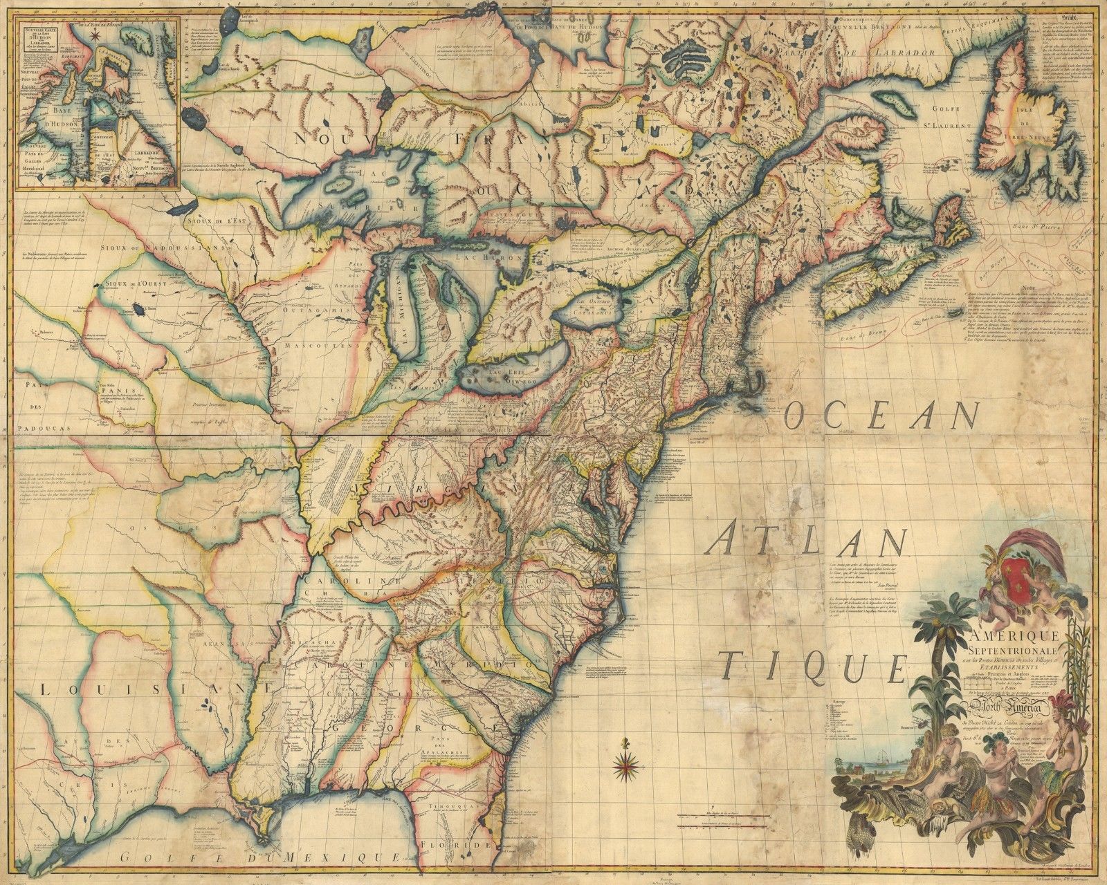
Map of North American Colonies ca. 1770