
Our series examining an Image of the Week from the photographic files, by Kevin Warstadt, Digital Program Specialist.
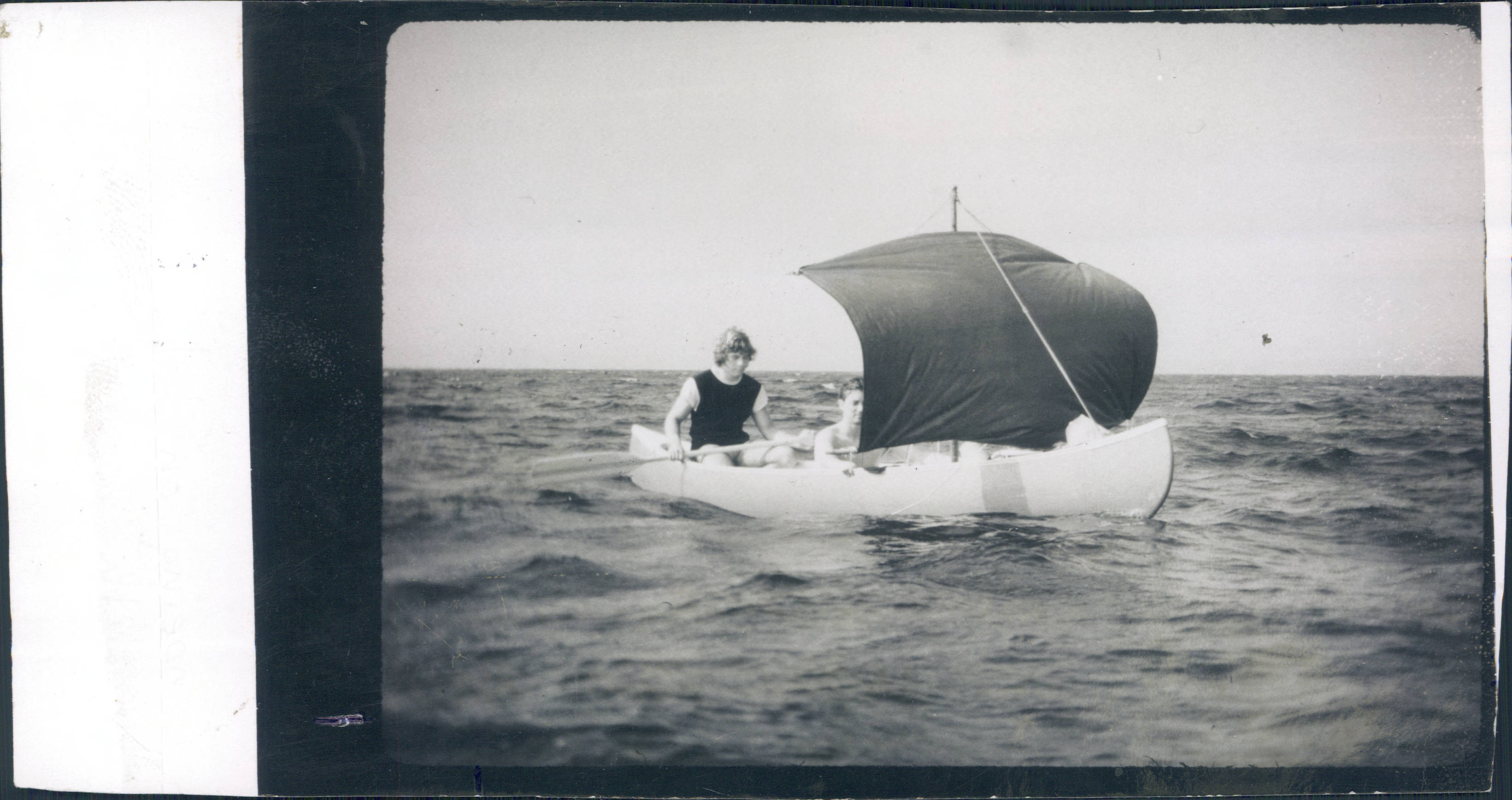
Canoeing with makeshift sail on Lake Champlain
This image of the week comes from a folder entitled “Canoeing Includes Canoe Club members pictures.”
A note on the back of the photo reads “Canoeing on Lake Champlain with makeshift sail”.
Lake Champlain is named for French explorer Samuel de Champlain, considered “The Father of New France” for his founding of New France and Quebec City. Champlain made the first accurate map of Canada’s east coast and assisted in the establishment of settlements in that region.
Lake Champlain is situated between New York, Vermont, and Quebec. This position made it an important landmark in the Revolutionary War and the War of 1812. The American victory in the Battle of Lake Champlain in 1814 earned it leverage in the dealings leading to the Treaty of Ghent and prevented British control of the Great Lakes and the New England states.
See more canoeing images in the Dartmouth photographic files.
Sources
Hurlbut, H. Higgins. (1885). Samuel de Champlain: a brief sketch of the eminent navigator and discoverer. Chicago: Fergus printing company.
Hickey, Donald R. (2012) [1988]. “Ch. 11: The Treaty of Ghent” (PDF). The War of 1812: A Forgotten Conflict (Bicentennial ed.). Urbana: University of Illinois Press. pp. 281–98. ISBN 9780252093739 – via Project MUSE.