Stumbled upon this very interesting land use map in Bloomberg, written by Dave Merrill and Lauren Leatherby. It shows us that the “48 contiguous states alone are a 1.9 billion-acre jigsaw puzzle of cities, farms, forests and pastures that Americans use to feed themselves, power their economy and extract value for business and pleasure.”
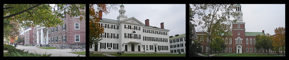
Wouldn’t it be interesting to create a map like this for Dartmouth’s 250+ acre campus?